AFAD: Earthquake Leaves 1 Dead, 729 Buildings Destroyed
 TurkeyEarthquakeErdogan_CM
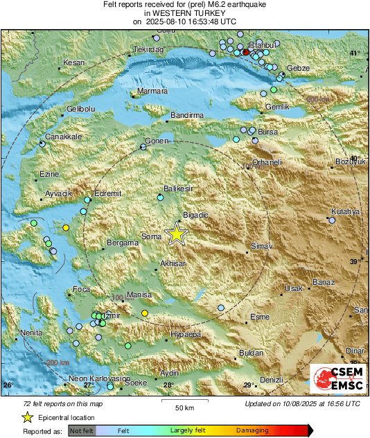
The Disaster and Emergency Management Authority (AFAD) has released its detailed report on the 6.1 magnitude earthquake that struck Balıkesir’s Sındırgı district on August 10, 2025. The quake, felt across western Turkey, claimed one life, left 729 buildings heavily damaged or destroyed, and triggered over 11,000 aftershocks.
The Quake’s Epicenter and Reach
According to AFAD, the earthquake struck at 19:53 local time at a depth of 12.89 kilometers, with its epicenter just 0.88 kilometers from Alacaatlı village in Sındırgı. The shockwaves rippled across Balıkesir and neighboring provinces including Manisa, İzmir, Uşak, and Bursa, where residents reported strong and prolonged tremors.
Aftershocks Still Ongoing
AFAD’s data shows that seismic activity in the region has remained high. By September 28, 2025, a total of 11,010 aftershocks had been recorded, ranging from magnitude 0.6 to 4.9. Of these, 44 quakes measured between 4.0 and 5.0. While the frequency of shocks is gradually declining, the activity is still concentrated along the same fault segment, underscoring ongoing risk in the region.
Source: Simav Fault Zone
The earthquake was traced to the Simav Fault Zone, part of the Aegean Graben System, one of Turkey’s most seismically active regions. AFAD determined that the tremor resulted from a rupture along a 20–25 kilometer stretch of the 35 km-long Sındırgı Segment. Historically, this fault has been highly active, producing 1,464 earthquakes above magnitude 4.0 since 1900, including one as strong as 7.2.
Structural Damage and Vulnerabilities
Damage assessments carried out by the Ministry of Environment, Urbanization, and Climate Change revealed:
-
Balıkesir: 624 buildings (901 housing units) heavily damaged or collapsed
-
Manisa: 105 buildings (135 units) rendered unusable
-
Total: 729 buildings (1,036 units) destroyed or severely compromised
Experts attributed the devastation to poor construction practices, including plain reinforcement bars, insufficient stirrups, weak column-beam joints, and lack of maintenance in older buildings.
Ground Deformation: Land Shifted 17 cm
Scientific analysis using Sentinel-1A satellite InSAR imaging showed that the earthquake caused 15–17 cm of vertical displacement on the Earth’s surface. AFAD also reported that the maximum ground acceleration was recorded at the Sındırgı station, where the vertical component reached 352.92 Gal.
The Mercalli Intensity Scale (MMI) placed shaking at level VIII (Destructive) in settlements closest to the epicenter, strong enough to topple poorly built structures.
Human and Regional Impact
Beyond the tragic loss of one life, the quake displaced families, destroyed homes, and caused lasting trauma in affected towns and villages. Emergency response teams continue to monitor the fault line as residents face the dual challenges of recovery and fear of renewed seismic activity.
Experts caution that the Simav Fault Zone remains a major seismic hazard for western Turkey, where urbanization and insufficient building standards increase risks. The report highlights the urgent need for stronger earthquake-resistant construction, retrofitting of vulnerable housing, and continuous public preparedness efforts.